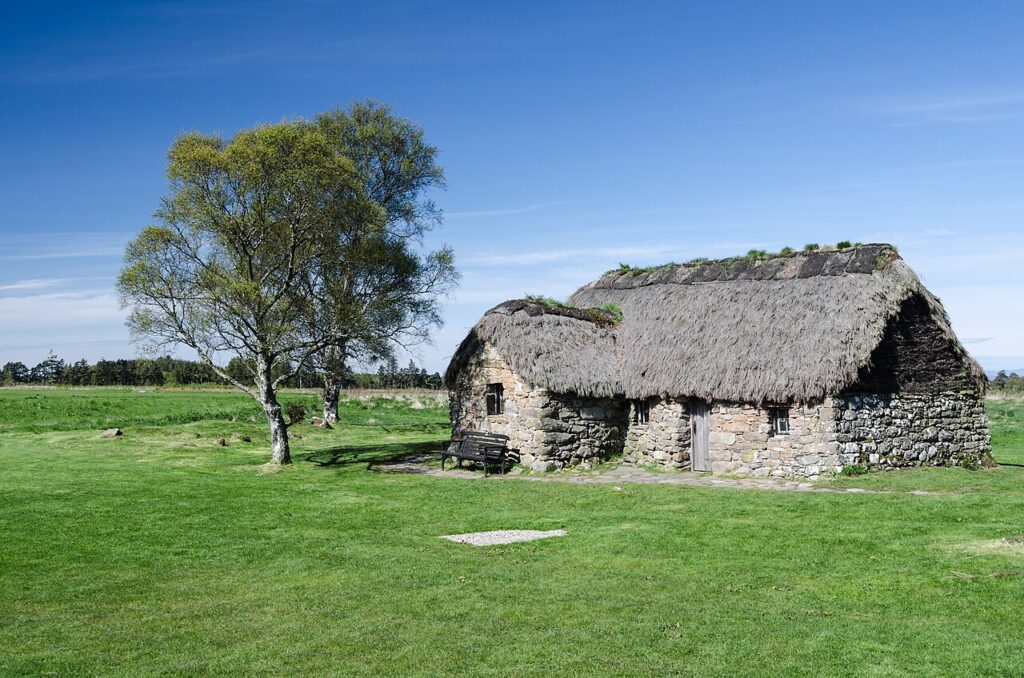
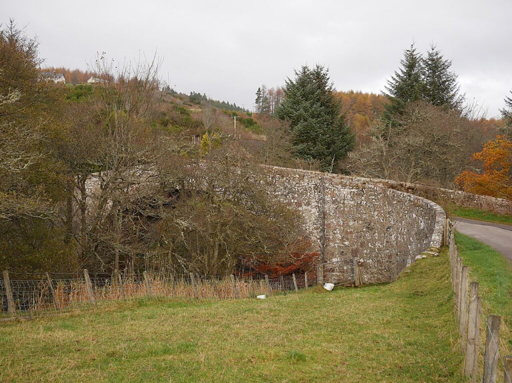
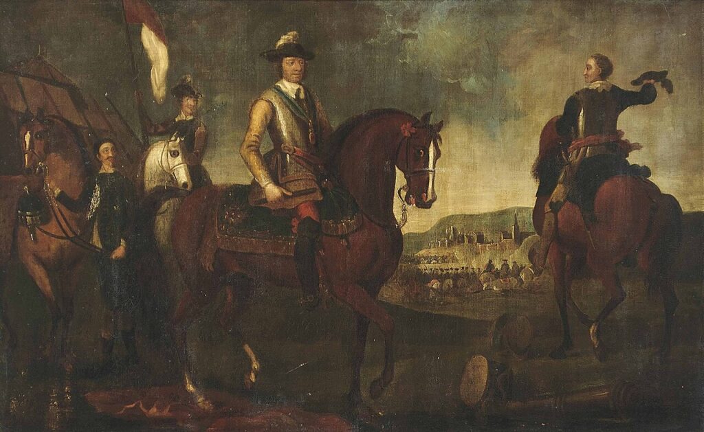
The battlefield of Culloden is well marked and just east of Inverness on the B9006.
Gillies MacBean slew thirteen troops, including Lord Kerr, single-handedly while defending a break in a stone wall on the right side of the Jacobite line. The exact spot is not marked, but it is not hard to work out now that the enclosure walls around the battlefield have been rebuilt. A MacBain helped Cameron of Lochiel, who had been shot and could not walk, and Aeneas MacBean is said to have escaped English soldiers by jumping back and forth across a stream.
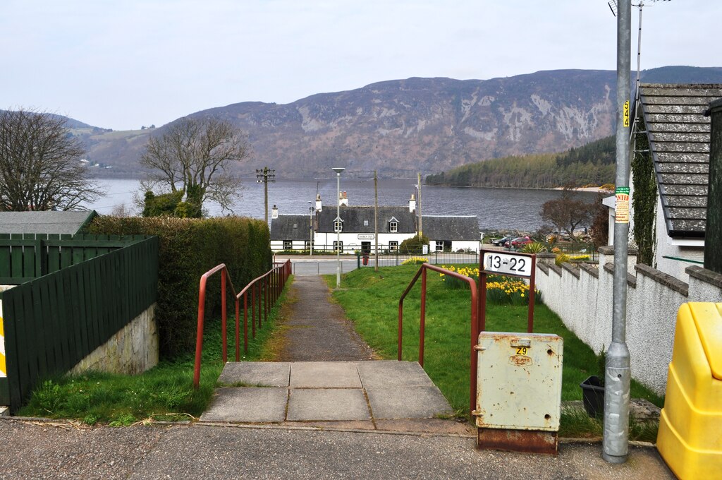
Just as states in the USA can have towns with the same name, so can counties in Scotland. There is a Drummond in the Parish of Dores, just south of the village of Dores on the B862. Heading south from Inverness on the road to Dores, the B862 turns left, inland from Loch Ness, when you reach Dores.
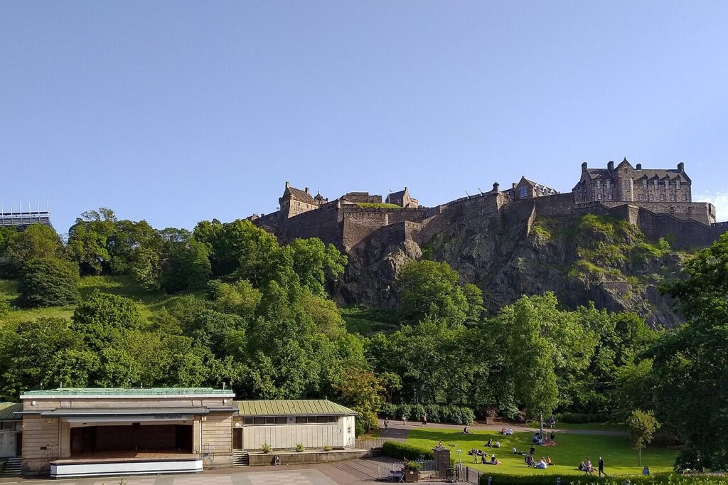
Edinburgh Castle has a display of Private MacBean, who fought in the English army at the battle of Malplaquet. A woman had his baby just before the battle, and he went into battle with the baby in a pouch at his side.
One of the MacBean families of the Inverness area. Go south from Inverness on the A9. The first major right turn after Daviot is at a spot called the Tor. Turn right, and Faillie is off to the right.
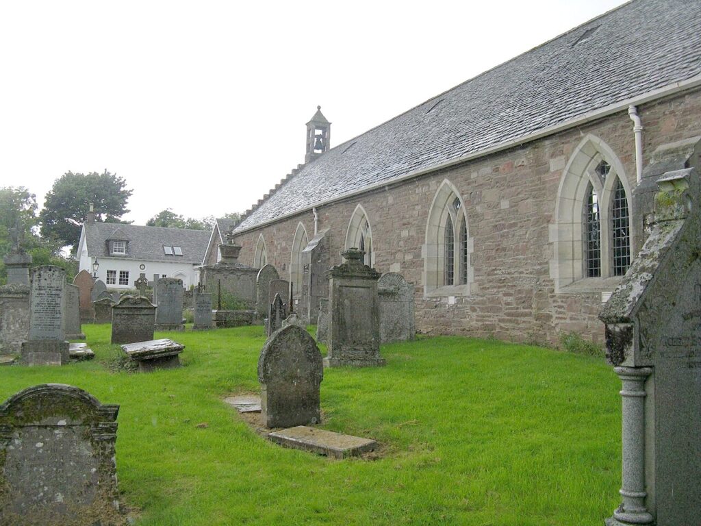
A 13th-century church in the village of Fowlis Wester, a few miles east of Crieff on the A85 towards Perth. It is dedicated to St Bean and is known for its two Pictish cross slabs.
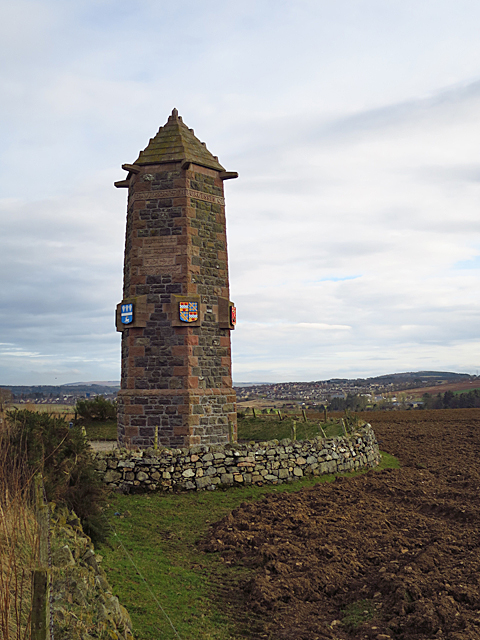
Myles MacBean is known to have played a major part on the side of the Mackintosh against the Red Comyn in this battle of 1411, and several MacBeans fell. It took place near Inverurie, northwest of Aberdeen on the A96.
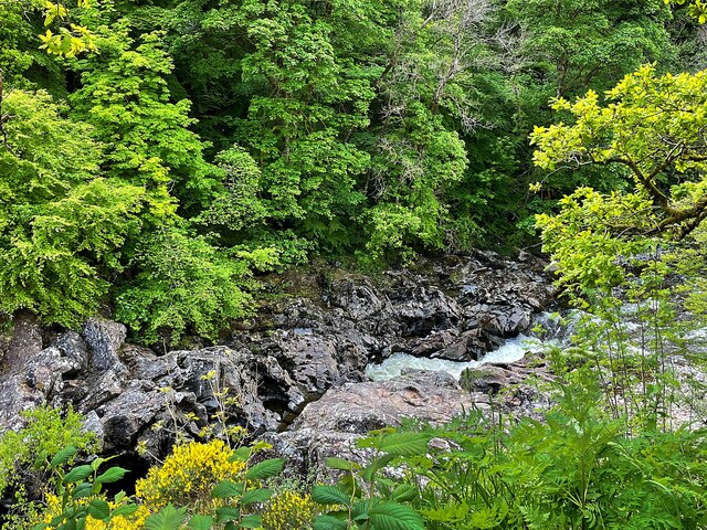
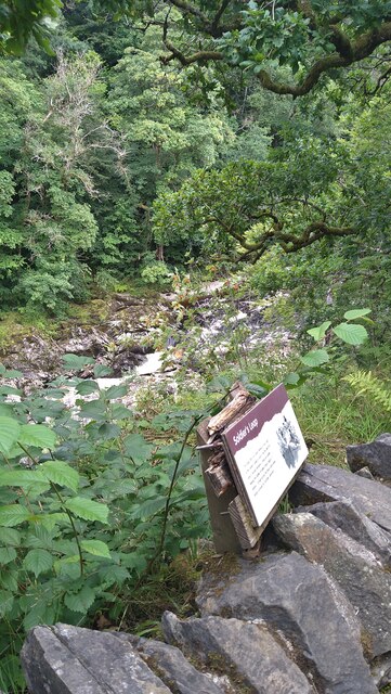
Killiecrankie: the Soldier's Leap
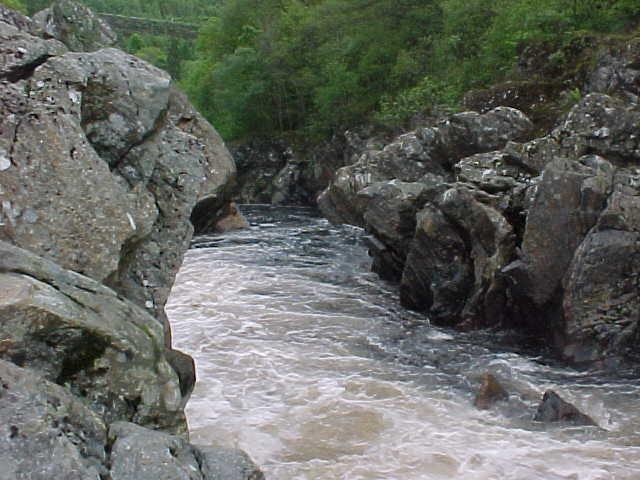
River Garry, near Killiecrankie
The point on the River Garry where a fleeing government soldier is said to have cleared roughly eighteen feet of gorge to escape pursuing Jacobites after the Battle of Killiecrankie in 1689.
Donald MacBane, a private soldier, was present at Mulroy in 1688 and Killiecrankie in 1689, and left one of the most detailed surviving accounts of Mulroy. His mention of an hour-long fire-fight is striking, running against the traditional picture of clan warfare as a single volley followed by the sword. He ran from both battles, and by his own entertaining account made the famous jump here. He later ran a brothel, became a fencing instructor, published a manual of swordsmanship, and on his death was buried in the garrison cemetery at Fort William. More of his story is on our Notable MacBeans page.
Getting there: the gorge is at Killiecrankie, a couple of miles southeast of Blair Atholl, just off the A9 between Edinburgh and Inverness.
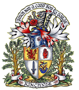
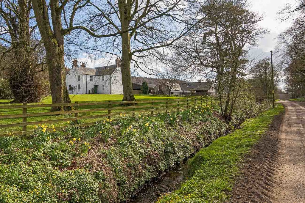
The home of the main family of MacBeans. Follow the directions to McBain Memorial Park (below), but at the “T” in the road off the main road to Dores, take the left fork instead of the right fork to the park. You will run parallel to the main Inverness to Dores road, heading north. About a mile along, on the right, is a farm called Kinchyle.
McBain Memorial Park
Above Dores, south of Inverness
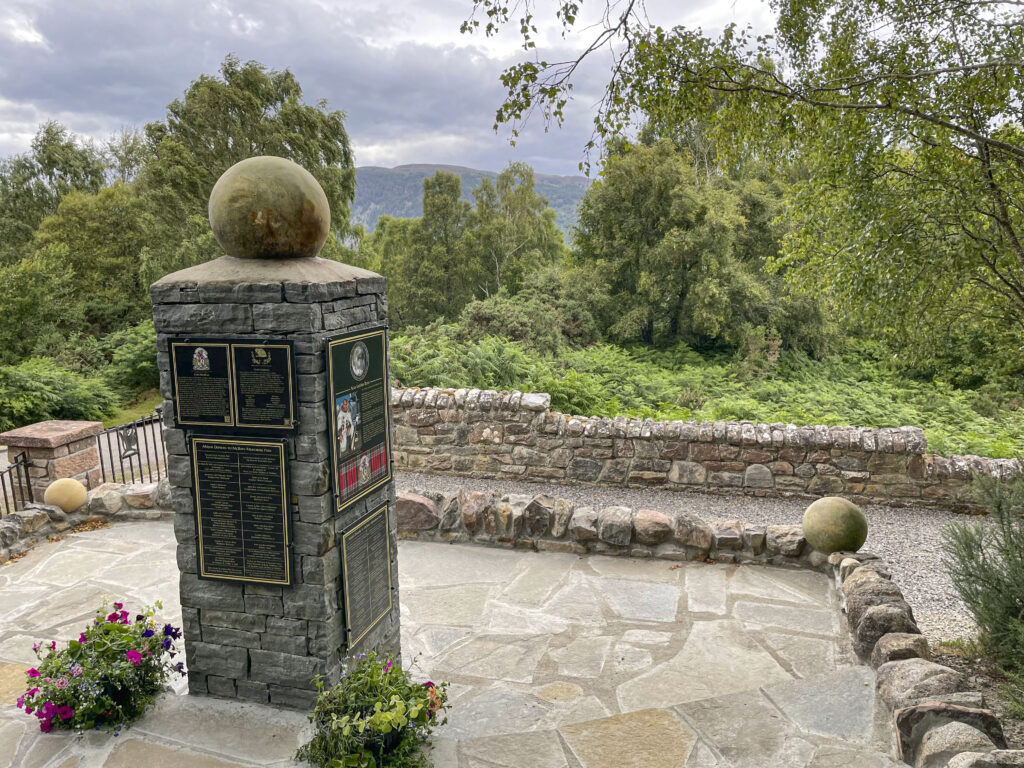
McBain Memorial Park on the morning of the Chief’s inauguration, August 6, 2022.
A permanent memorial created by Hughston McBain of McBain, 21st Chief, on a piece of the old clan lands. Go south from Inverness on the B862 towards Dores. About 2 miles south of Scaniport there is an Aldourie Farm/Castle sign on the right. Take the first left after the sign; there may be a small sign to the memorial. After a few hundred yards you come to a “T” in the road. Turn right. After a quarter of a mile or so the road bends to the left, and the memorial is on the left behind a wrought iron fence and gate.
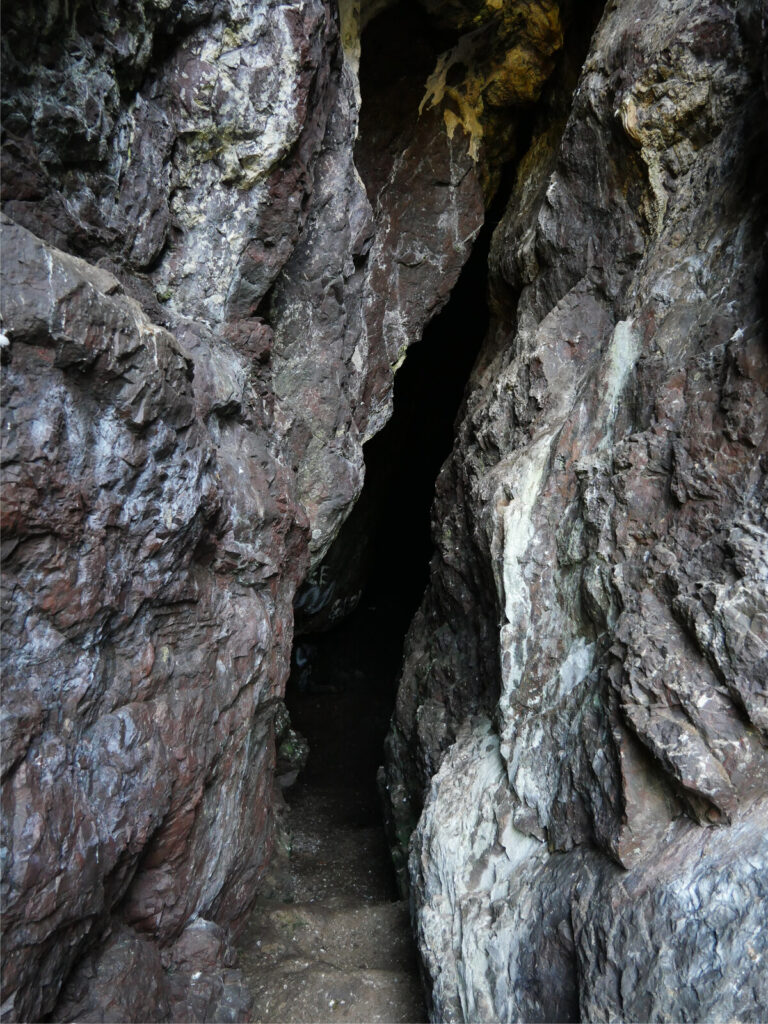
Sawney Bean was the head of a cannibal family, almost certainly fictitious, said to have roamed Ayrshire in the late 1500s and early 1600s. He appears in S.R. Crockett’s 1896 novel The Grey Man, and our Notable MacBeans page explains how the tale was used as propaganda. Bennane Head is roughly three miles north of Ballantrae, on the west coast on the A77. About a mile north of the top of the hill there is a lay-by next to a point called Balcreuchan Port. The supposed cave is down towards the beach.
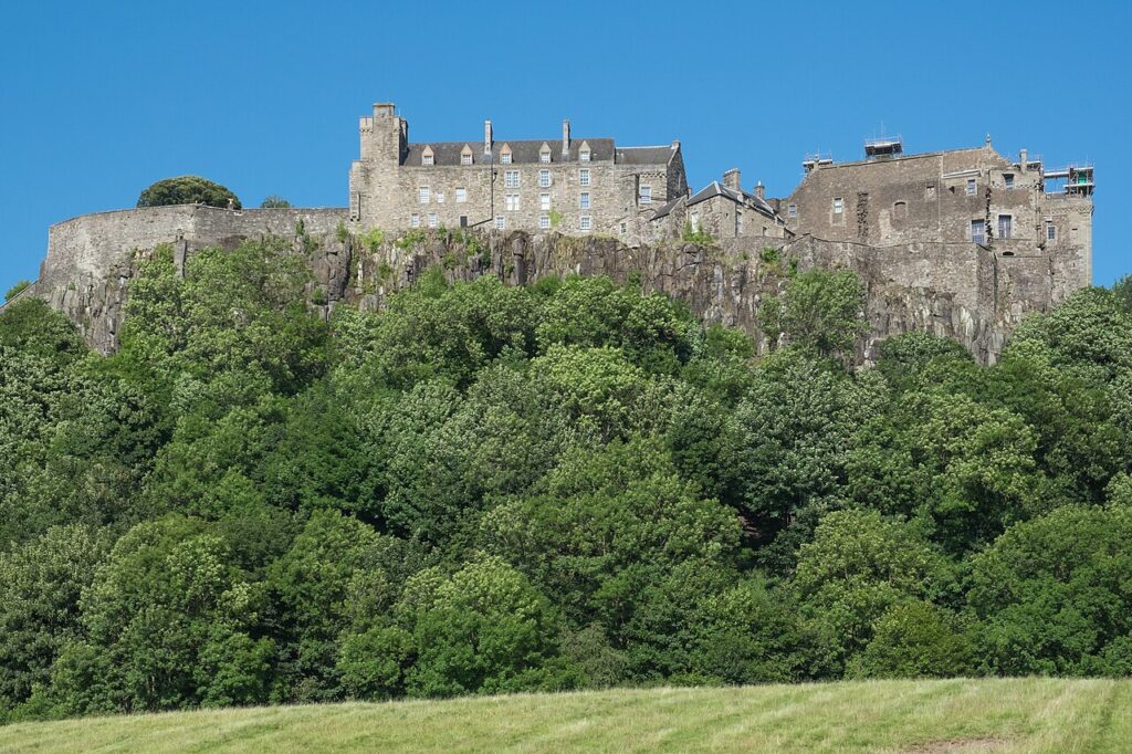
The castle holds the Museum of the Argyll and Sutherland Highlanders. William MacBean rose from private to general, won the Victoria Cross at the battle of Lucknow, and is the subject of an exhibit.
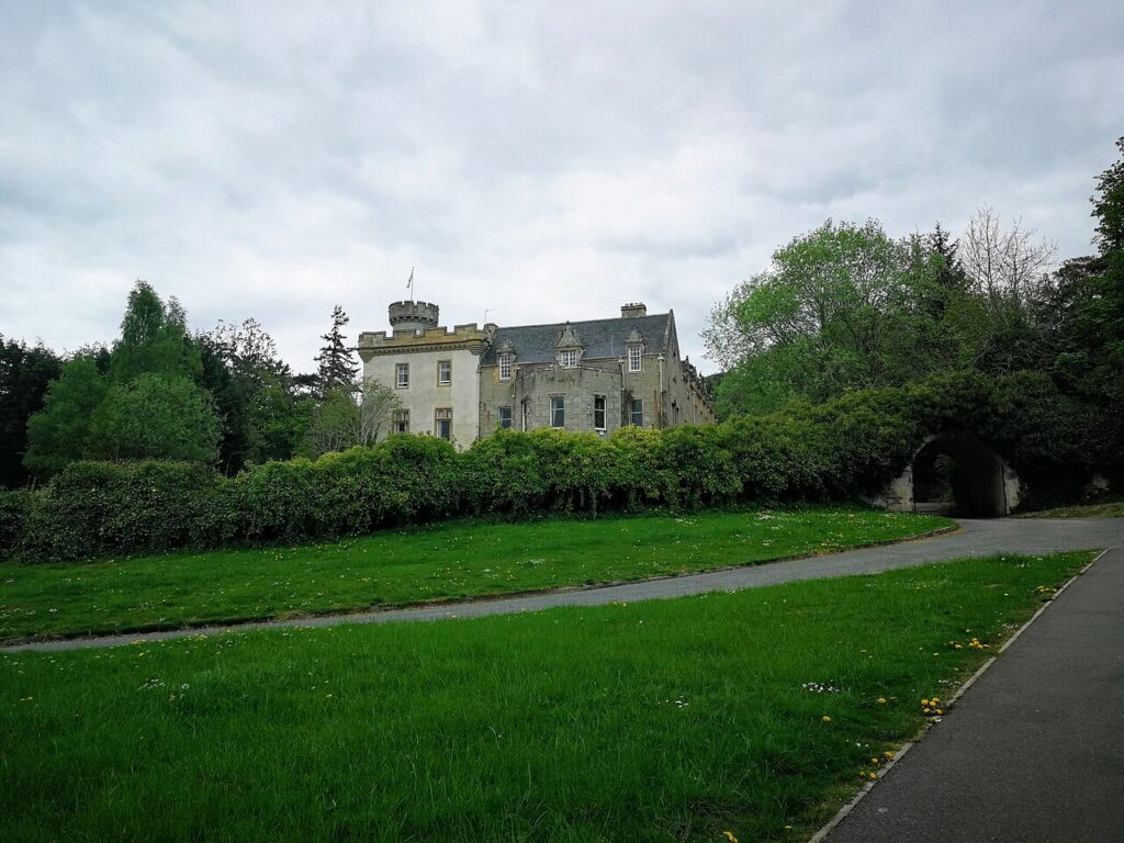
Tulloch Castle, in Dingwall, was owned by the Bains of Tulloch, who aligned themselves with Clan Mackay. When this list was first written, in 1997, it was a conference center and hotel.
Worcester (Battle of)
Worcester, England
Oliver Cromwell at the Battle of Worcester, English School, 17th century. Public domain.
The Battle of Worcester, on 3 September 1651, was the last battle of the English Civil War. Oliver Cromwell’s Parliamentarian army defeated the mainly Scottish Royalist army of King Charles II. John Bean, later of Exeter, was taken prisoner and sent to the American colonies. Worcester is in the West Midlands of England, about 17 miles southwest of Birmingham. (More on Wikipedia)
The McElvain family
McElvain sites
Places linked to the McElvains, Lairds of Grimmet, mostly in Ayrshire, with a few in Northern Ireland and England.
One of the original lands granted to the family. On the left, about one mile southeast of Maybole (south of Ayr on the A77), towards Crosshill on the B7203. It is sometimes open as a B&B.
Ballykeel
Island Magee, County Antrim, Northern Ireland
Home of the descendants of the McElvains, Lairds of Grimmet, after they left Scotland in about 1693. Head south from Larne on the A2, then turn left on the B90 towards Ballylumford and Island Magee. You pass Ballycarry railway station, cross a short bridge, and go up a hill to a junction, with Muldersley Hill, a local landmark, on your right. The B90 continues to the left. A short way ahead on the right is the graveyard and former church site where some McElvain ancestors are buried.
Bannockburn (Battle of)
Near Stirling
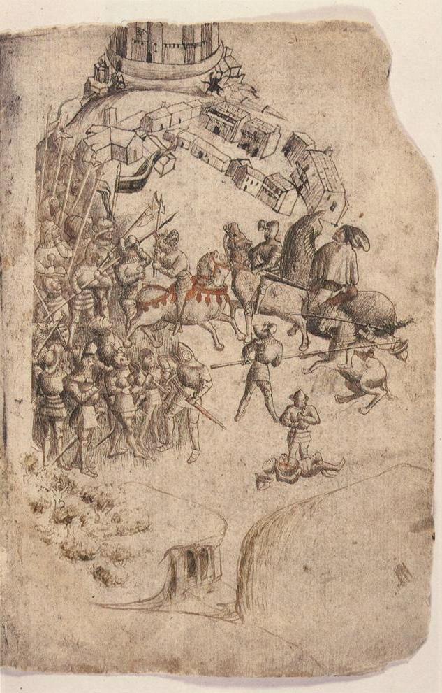
The Battle of Bannockburn in a 1440s manuscript of Walter Bower's Scotichronicon, the earliest known picture of the battle.
A father and son together won the family its coat of arms at this famous battle for Scottish independence. Just off the A9 south of Stirling, with plenty of signs from the M9 and A9.
Crossraguel Abbey
Near Maybole, Ayrshire
Crossraguel Abbey before the dissolution of the monasteries: a conjectural drawing, 1864, from James Howie's Scots Worthies (Blackie & Son).
A McElvain was made baillie, or administrator, of the abbey in 1523. On the left, about one and a half miles southwest of Maybole towards Kirkoswald on the A77.
Grimmet near Dalmellington: the original land granted to the family, along with Attiquin. On the right, two miles west of Dalmellington towards Straiton on the B741.
Grimmet near Maybole: possibly a minor holding of the family. On the north edge of Maybole on the A77, go east on the road to Kirkmichael and keep going east until you meet the B7405 at Harkieston Bridge (it may not be marked). Turn left (north) on the B7405. The road curves right in a rough half circle; where it straightens and heads north again, Grimmet is the group of buildings on your right.
Hastings (Battle of)
Battle, East Sussex, England
Harold Godwinson falls at Hastings, from the Bayeux Tapestry.
A McElvain ancestor led a large force that fought on the side of the Normans in this battle. The town of Battle and Battle Abbey are on the A2100, just northwest of Hastings on the south coast.
Holyrood Abbey
Edinburgh
The Chapel Royal at Holyrood Abbey in the reign of James VII.
The first abbot of the abbey was a possible ancestor of the family, given special permission to marry after his only brother died without heirs. At the east end of the Royal Mile in Edinburgh.
Lady Cross / Gorse (Battle of)
Near Maybole, Ayrshire
A battle between rival branches of the Kennedy family, in which the McElvains fought for the side that set up the successful ambush. Go west out of Maybole on the road to Culzean Castle. After West Enoch Farm, turn right. Once you clear the trees, Trees Farm is on the left across the stream. The ambush took place about halfway between West Enoch Farm and Trees Farm.
Largs (Battle of)
Largs, Ayrshire
Viking ships, detail from William Hole's mural The Battle of Largs, Scottish National Portrait Gallery.
The Battle of Largs in 1263 ended Viking interest in the west coast of Scotland, and for his part in the victory a McElvain was granted lands in Ayrshire. Largs is on the coast north of Ayr on the A78, or west of Lochwinnoch and Kilbirnie on the A760.
MacIlveenston
Near Dalrymple, Ayrshire
Near Dalrymple, Ayrshire, by William Drummond Bone (1907–1979). South Ayrshire Council.
A few ruined farm buildings are all that is left of MacIlveenston, a village that stood here for several hundred years. Leaving Dalrymple south on the B742, cross the bridge over the River Doon. Ignore the first left on the south side of the river and take the next left, where two roads join from the left: take the hard left. After a short roller coaster up and down, the road turns right, then left. Go straight on past Netherton (on the left). A farm track on the right, which may have piles of hay covered with tyres, turns into a path; the ruins are up this path on the right.
Maybole Collegiate Church cemetery
Maybole, Ayrshire
Maybole Collegiate Church in 1789, from Francis Grose's The Antiquities of Scotland (1797).
The site of a 1618 grave marker naming the ancestor Agnes McIlven. The marker, shaped like a table on two slab legs, is at the far end of the cemetery, straight across from the entrance. Maybole is south of Ayr on the A77.
Pinkie / Musselburgh / Fawside (Battle of)
Musselburgh, east of Edinburgh
The Battle of Pinkie, woodcut from William Patten, 1548.
A McElvain, Laird of Grimmet, was killed at this Scottish defeat in 1547. Musselburgh is on the coast just east of Edinburgh, and the battle was fought over a wide area around the River Esk and Inveresk.
Sea Rock Mhic Chomhain
Craignure, Isle of Mull
Mhic Chomhain is McElvain in Gaelic. The rock is the nearest island off the golf course north of Craignure. Heading north from Craignure on the main road, the road cuts inland for a short way; as it comes back to the shore, the golf course is on your right. There may seem to be three islands, but the closest is actually a peninsula of the golf course.
Thomaston Castle
Near Culzean Castle, Ayrshire
Thomaston Castle.
A castle the McElvains gained through marriage into the Corrie family in the 1600s. On the west side of the A719, about a quarter of a mile south of the entrance to Culzean Castle. Take the road to Culzean Castle from Maybole and continue past the entrance.
Join Clan MacBean
Membership starts at $30 a year. Members receive The Register, help from the clan genealogist, member pricing, and news of gatherings and Highland games.